Land for Sale in Quemado, New Mexico
36 Airport Quemado, NM 87829
Images
Map


$70,000
20.03 acres
Active sale agoEst $685/mo
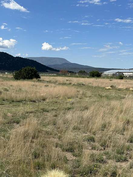
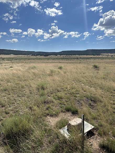
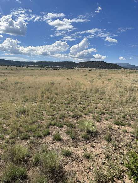
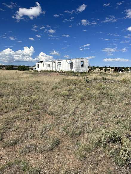
Wide open spaces abound on this parcel. Buy the lot get a vintage singlewide connected to electric and septic. Nice views of Escudilla Mountain. Seasonal Coyote Creek runs through this property. Various types of wildlife are seen wandering through this lot. Close to poulr hunting units and recre3ational activities.
Directions
From Hwy 60 in Quemado:follow HWY 60 west across the NM AZ stateline to Apache cpounty road 4225 turn South onto ACR 4225 follow appprox 8 miles to Y take left fork, follow to subdivision entrance road turns into Sandy Lane. Take Sandy to airport turn left ( after big storage tank) * There is not a street sign but looking left you can see the home)
Property details
- County
- Catron County
- Community
- Escudilla Bonita
- Elevation
- 7,234 feet
- MLS Number
- SWMLS 1040820
- Date Listed
Parcels
- 3124010083231
Property taxes
- Year not provided
- $245
Expenses
- Home Owner Assessments Fee
- $100 annually
Listing history
| Date | Event | Price | Change | Source |
|---|---|---|---|---|
| Sept 1, 2023 | New listing | $70,000 | — | SWMLS |
Payment calculator
Contact listing agent
By submitting, you agree to the terms of use, privacy policy, and to receive communications.