Residential Land for Sale in Brewster, Massachusetts
Blueberry Pond Dr Brewster, MA 02631
Images
Map
Street


$1,250,000
7.81 acres
Active sale agoEst $11,774/mo
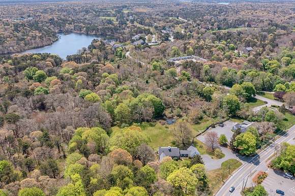
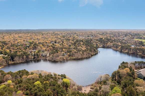
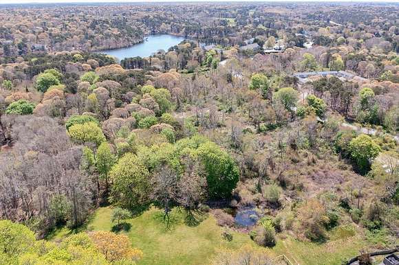
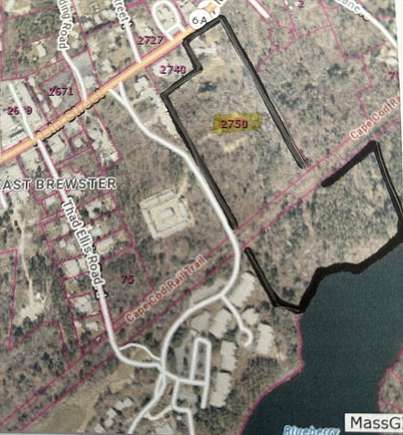
7.8 acres of waterfront buildable raw land with 706 ft of frontage. An elevated parcel with stunning views. Buildable Dock Location
Directions
access through 2750 Main Street
Property details
- County
- Barnstable County
- Zoning
- RESD.
- Elevation
- 95 feet
- MLS Number
- MLSPIN 73240195
- Date Posted
Parcels
- 2247077
- M:89 B:49
Property taxes
- 2024
- $601
Detailed attributes
Listing
- Type
- Lots And Land
- Franchise
- RE/MAX International
Listing history
| Date | Event | Price | Change | Source |
|---|---|---|---|---|
| May 17, 2024 | New listing | $1,250,000 | — | CCIAOR |
Payment calculator
Sandra Milano
RE/MAX Executive Realty
Contact listing agent
By submitting, you agree to the terms of use, privacy policy, and to receive communications.